Professional solutions for sewers and pipelines
cseTools
Compatibility
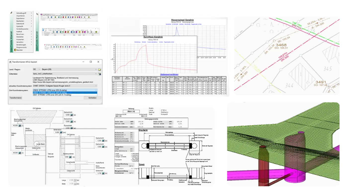
cseTools – a CAD extension for civil engineering. Extend your CAD software (AutoCAD, BricsCAD, Civil 3D, Map 3D) with specialised tools for drainage and utility infrastructure. Choose exactly the functions you need – efficient and compliant with German-speaking standards.
cseTools
For which customers?
Civil engineering firms and utilities planning sewer and pipeline networks in line with DACH standards.
- Sewer planning
- Pipeline planning
- ALKIS cadastre data
cseTools
Highlights
ALKIS
The ALKIS module reads and uses ALKIS data (the official German property cadastre information system) in the base CAD system. Performance of the base CAD (e.g. AutoCAD, Civil 3D, Map 3D or BricsCAD) stays high because the data is loaded into a separate database rather than directly into the DWG drawing.
cseTools
Features
Sewer planning
Sewer planning supports the graphical, database-driven design of urban drainage networks as separate or combined systems. It supports importing ISYBAU and ASCII data (and much more), designing and managing house connections and street gullies, and optionally special structures.
Pipeline planning
Pipeline planning enables database-driven design of water supply networks down to node detailing. It also supports designing and managing house connections, with direct access to the as-built plan and terrain model data.
Base plan
The base plan module helps prepare a discipline-specific project, for example geolocation or integrating external plan documents. It provides functions for transforming and fitting geographic data as well as generating and importing terrain data.
Cross-selling for your customers
Works well with cseTools