Powerful geographic and mapping tools for DWG CAD
GeoTools
Compatibility
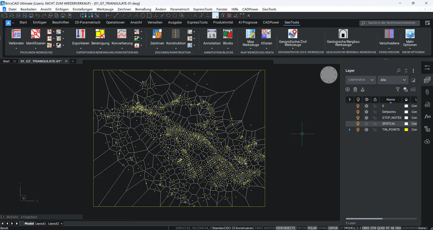
GeoTools V25 is a comprehensive geodata CAD extension for BricsCAD, ideal for viewing, creating, editing, analysing and reporting geographic CAD data. With more than 75% of the functionality of AutoCAD Map, GeoTools covers the essential needs of most users.
GeoTools
For which customers?
GIS, mapping and surveying users looking for a lean alternative to AutoCAD Map in BricsCAD.
- Mapping
- Map data cleanup
- Google Earth integration
GeoTools
Highlights
Polylines & annotation
GeoTools provides powerful functions for labelling and annotating polylines precisely. Segment lengths, bearings, angles or vertices – all values can be placed flexibly and customised individually.
Map data cleanup
GeoTools offers powerful tools for cleaning up and optimising linear and polygonal networks directly in the CAD environment. Digitising errors such as overshoots, gaps or redundant vertices are detected and fixed automatically. Topology building, intersection cleanup and centroid annotations are supported as well.
GeoTools
Features
Survey and terrain data
GeoTools supports flexible exchange of survey data in formats such as CSV, TAB or stacked structures. All relevant attributes and CAD data are preserved, and coordinates can be converted in both directions between decimal degrees and DMS.
Geographic coordinates
GeoTools offers full coordinate conversion from UTM to geographic coordinates (latitude/longitude) and back – even in BricsCAD Lite, plain AutoCAD (without Map) and the standard version of ZWCAD.
Google Earth interaction
GeoTools offers full integration with Google Earth, allowing vector data to be imported and exported in KML/KMZ format. It is also possible to capture a viewport image from Google Earth and import it into CAD with georeferencing.
Cross-selling for your customers
Works well with GeoTools
 BricsCADAny customer working DWG-based in 2D and 3D – from design offices to mechanical engineering. Ideal for users switching from AutoCAD®.CAD platform →
 Spatial ManagerPlanners, municipalities and utilities who import geodata into their CAD, transform it and export it again.Add-on →
 morphcadSurveyors, architects and planners working on existing buildings who create precise 3D models from point clouds in BricsCAD.Add-on →
 BauCaDArchitects, structural engineers and contractors who turn point clouds into 2D plans and 3D models efficiently.Add-on →