For resellers and CAD dealers

Product portfolio

Which solution fits your customer? Choose the customer group and we will instantly show you the matching products from our portfolio.

5 products for Surveying & Point Clouds · Surveyors, laser scanning, as-built

Our recommended bundle

How to equip customers in Surveying & Point Clouds

As a mervisoft partner you receive reseller terms, volume pricing and demo licences.

Request partner terms
Add-on

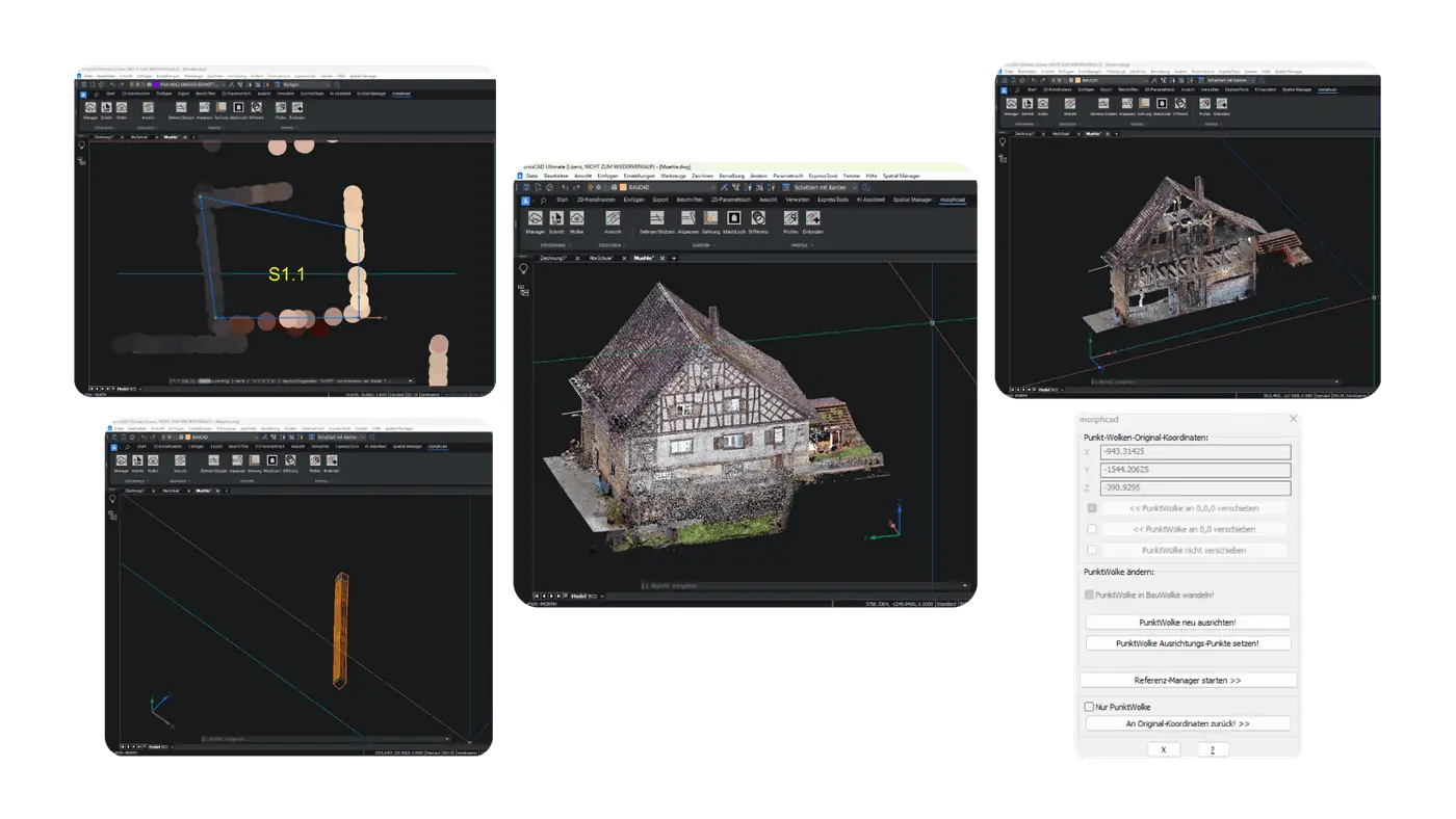
morphcad

Anything but inaccurate!

Ideal for your customers

Surveyors, architects and planners working on existing buildings who create precise 3D models from point clouds in BricsCAD.

Survey & ScanArchitecture
  • Point cloud to 3D model
  • Renovation & as-built
  • 11 intuitive commands

Runs on BricsCAD

Details
Add-on

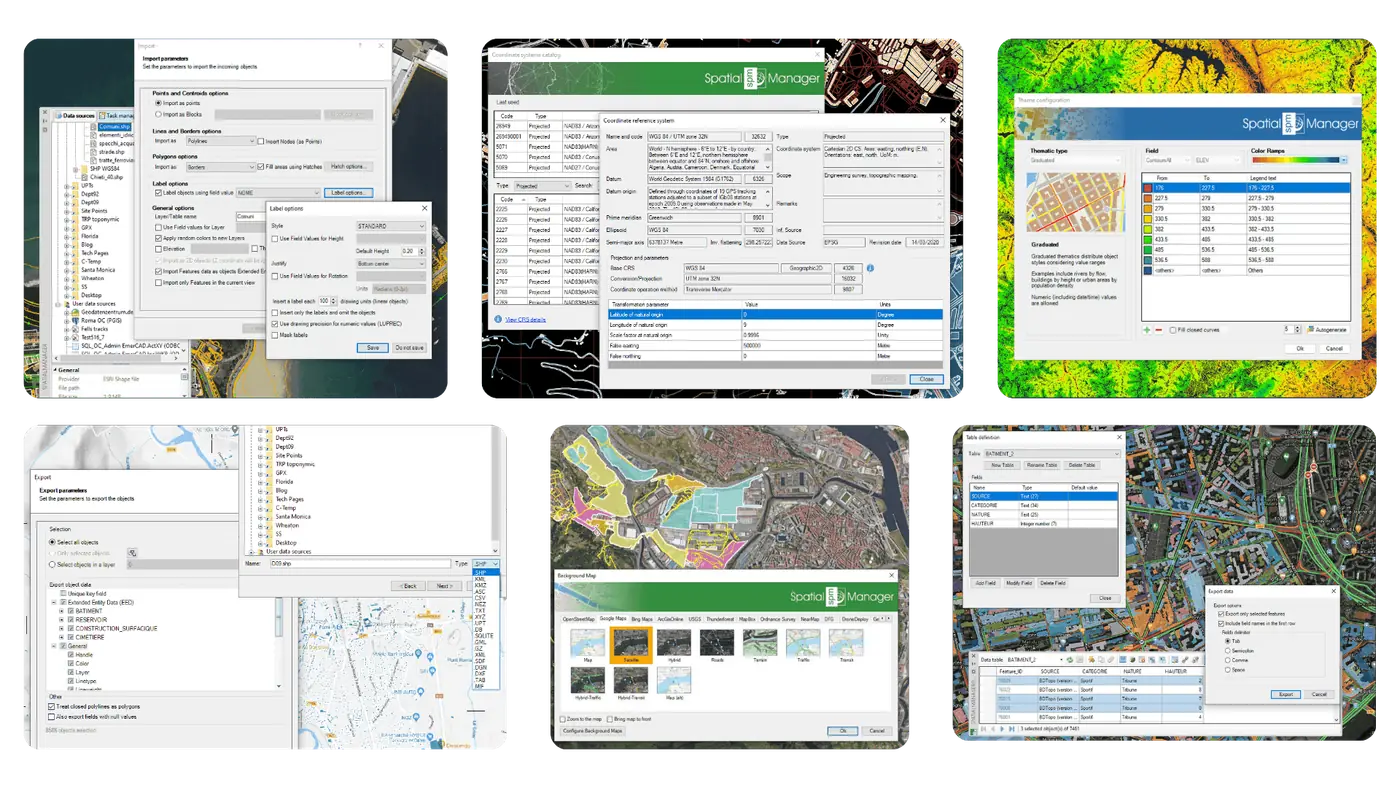
Spatial Manager

Move geodata intelligently

Ideal for your customers

Planners, municipalities and utilities who import geodata into their CAD, transform it and export it again.

GIS & GeodataSurvey & ScanCivil
  • Geodata import/export
  • Coordinate transformation
  • Background maps

Runs on AutoCAD, BricsCAD, GstarCAD +1

Details
Add-on

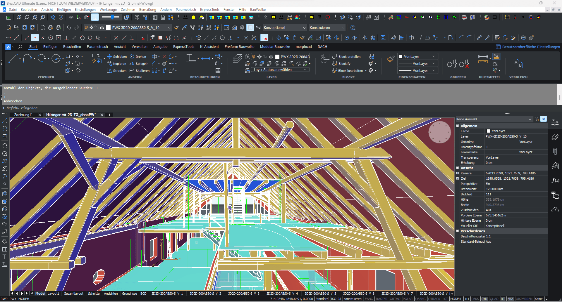
BauCaD

Your platform for state-of-the-art CAD solutions in construction!

Ideal for your customers

Architects, structural engineers and contractors who turn point clouds into 2D plans and 3D models efficiently.

ArchitectureSurvey & Scan
  • Point cloud to plan
  • As-built survey
  • 2D/3D building design

Runs on AutoCAD, BricsCAD

Details
Add-on

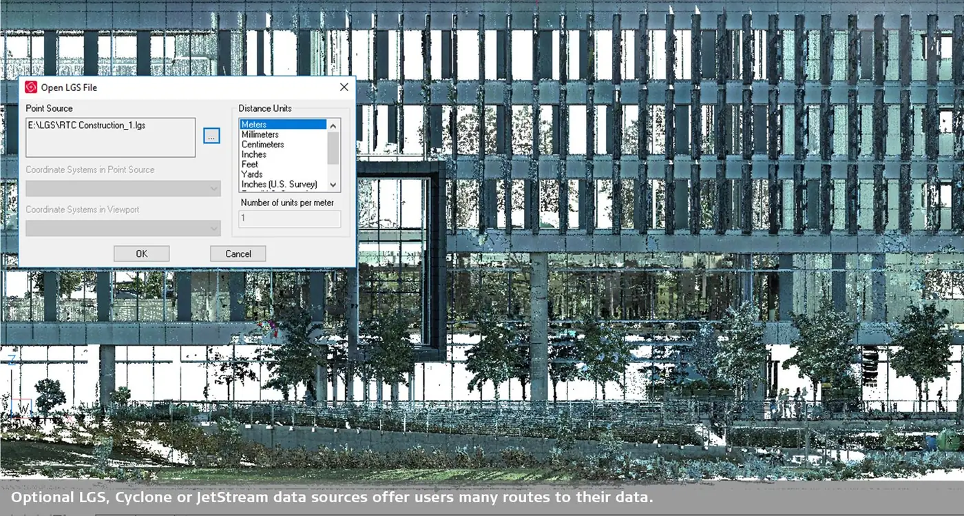
Leica CloudWorx

Digital reality plug-ins for your preferred CAD systems

Ideal for your customers

Leica laser scanner users who work with point clouds from Cyclone and JetStream directly in BricsCAD – including plant engineering.

Survey & ScanMechanical
  • Leica point clouds in CAD
  • Piping & steel structures
  • Inspection reports (ASTM)

Runs on AutoCAD, BricsCAD, Navisworks +1

Details
Add-on

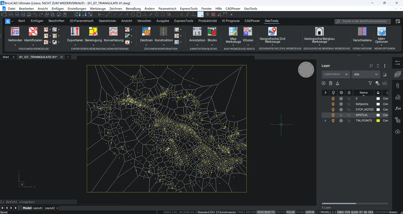
GeoTools

Powerful geographic and mapping tools for DWG CAD

Ideal for your customers

GIS, mapping and surveying users looking for a lean alternative to AutoCAD Map in BricsCAD.

GIS & GeodataSurvey & Scan
  • Mapping
  • Map data cleanup
  • Google Earth integration

Runs on ARES Commander, AutoCAD, BricsCAD +1

Details

News

/// BIM World MUNICH 2026 / 24–25 November / Messe München / Hall B0 – Booth 202 / Our partners & co-exhibitors: CAD Deutschland CDIC GmbH | TRIC GmbH | VDMA e.V. | cbaCAD GmbH | QualityBIM | BIMDAS